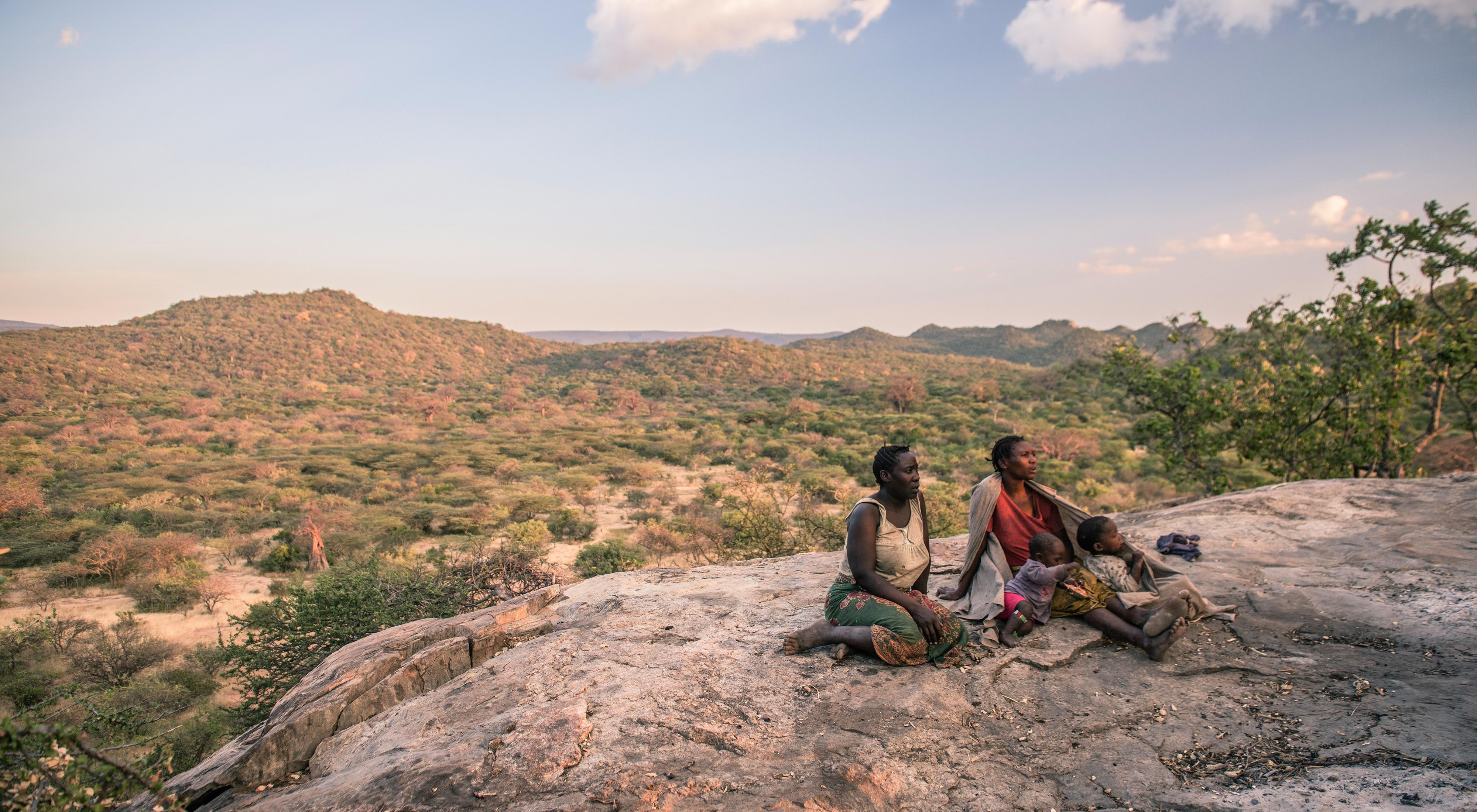
Land rights in Tanzania, and across much of Africa, are a complicated topic. Land can be owned by individuals, communities, or the government. For traditionally nomadic groups, home might refer to wherever food is most plentiful for their families or their cattle that month.
But land rights are an extremely important topic because they are at the core of The Nature Conservancy’s work in northern Tanzania. Through the Northern Tanzania Rangelands Initiative (NTRI) — a collaborative partnership of nine NGOs — TNC is helping local communities secure communal land tenure in order to manage in ways that benefit both people and nature.
Here, we provide answers to some basic questions about land tenure and what it means for our work in Tanzania.
Q. Why is the concept or idea of “communal lands” so important to many Tanzanians?
A. Communal lands are central to the livelihoods of many Tanzanians, in particular to pastoralists and hunter-gatherer groups. The top threat facing communities and wildlife in northern Tanzania is competing land use interests from individuals versus communities — more specifically, farming versus grazing pastures. Much of the traditional grazing land is being converted to row-crop agriculture. This kind of haphazard land conversion is unhelpful as it fragments land and encroaches upon communal lands.
Q. Why do we need to secure more communal land for people and wildlife?
There is an urgent need to secure tracts of communal land for people and ecosystems. In many areas, agricultural investors and growing populations, among them agrarian tribes who are moving to find additional land suitable for crops, are converting traditional grazing/pastoral lands into cropland. Also, pastoralists themselves are converting land to agriculture in an attempt to secure land tenure by having "productive" land. This disrupts livestock and wildlife movements, chops up the land and encroaches upon natural wildlife movement corridors
Q. What’s a “wildlife corridor” and why is it important?
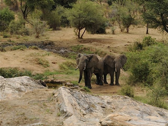
Wildlife corridors link already-protected areas, such as national parks, and are essential to allow wild animals to roam, move, and breed. If humans build settlements or agricultural areas across these natural corridors or paths, it can result in various forms of conflict. This can either be conflict between pastoralists and agriculturalists or between both these groups and hunter-gatherers (i.e., groups of people that use those corridors to graze their cattle as opposed to more stationary dwellers) or human-wildlife conflict (i.e., if wildlife raid crops or trample fields or kill livestock).
If traditional wildlife corridors are blocked or degraded, wildlife may lose access to grass and water, which would threaten a species' population viability.
Q. In a nutshell — why do communities need titles to lands?
If communities lack title over their lands, they are unable to enforce land use plans that define the kind of activities that are permitted in which zones (e.g., settlement, grazing, and agriculture), and those communities are at risk of losing control of the lands and the very resources they need to survive.
Q. What is TNC doing?
TNC is working with partners to help communities:
a.) gain tenure over their traditional lands;
b.) apply good land use planning and management practices and transparent governance; and
c.) benefit from managing their lands in ways that are also compatible with wildlife.
Q. What tools exist to help do all this?
One communal tool being tested is a CWMA, or Community Wildlife Management Area. This is basically a protected area that is made up of a portion of multiple villages’ lands that are set aside for joint management. So imagine if everyone sets aside part of their village land, joins it all together, and the common land is then the CWMA.
Q. How does it work?
The CWMA area is zoned — including a core area where livestock are not allowed, except in emergency conditions — and an outer zone where managed grazing is allowed in certain areas at certain times of the year. This arrangement is enforced by Village Game Scouts and community members through communally established bylaws.
Villages included in a CWMA should be in a strong position to negotiate with tourism operators for investments on their lands that would bring benefits both for the communities and for the tourism business. Communities benefit from tourism revenue, jobs and infrastructure such as roads, and tourism operations benefit from access to large protected areas often adjacent to national parks or in large dispersal areas and tourism options not available in parks, such as cultural tourism, cycling, hiking, and night-time game drives.
Q. What other land use planning tools exist?
A CCRO is a Certificate of Customary Right of Occupancy, a form of individual, and more recently, group land tenure within a larger village holding. This is an effective tool for strengthening community land rights and securing communal lands. In other words, it formalizes allocating parcels of village lands to individuals or groups. The collective nature of the title means that transactions and subdivisions can only take place with the consent of the entire group, thus providing greater tenure security to at-risk communities and minorities.
Q: What are the potential benefits in the long run?
Cross-border grazing corridors that are kept open across villages will lead to healthier livestock and wildlife. With grazing land protected and enforceable bylaws and management in place, livestock and wildlife will become healthier. It will also ensure the mobility of pastoralists, without which that traditional way of life could not survive.
There should be reduced conflict between villages and higher revenue for the villages, which stays with the local community. In times of hardship, such as drought, there will be a community management plan how to deal with it.
Q What are the challenges?
Getting this right isn’t easy. Conflicting land use interests, population growth, and weak local governance all make land management challenging. Communities must place great trust in the NTRI partners. Land use planning is bringing difficult disputes to a head as village boundaries must be mapped and formalized before maps can be drafted, land use plans approved, and CCROs issued.
Additionally, government policies on revenue retention challenge the ability of communities to make reasonable income from wildlife tourism. We are working on these policy changes, but currently the conditions are not as enabling in Tanzania as they are in Namibia and Kenya, for example.
However getting it right is important. As populations continue to rise, competing pressures on the land in Tanzania, and in much of Eastern Africa, also continue to increase. Models that work in Tanzania may be able to be replicated elsewhere.
