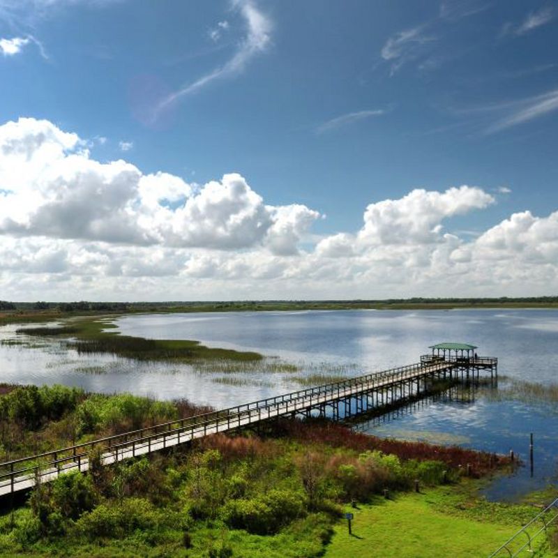
Osceola County, a vibrant and growing community in central Florida, has an opportunity to shape its future in a sustainable way. Balancing development with the conservation of natural resources is crucial to maintaining the county’s unique character and quality of life.
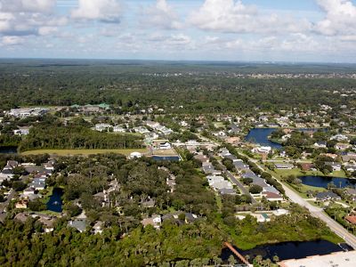
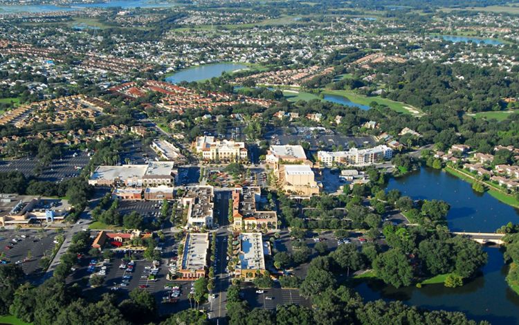
As population increases and development expands, there is an increasing demand for housing, infrastructure, and economic opportunities. Rapid unplanned growth can lead to habitat loss, increased pollution, and decreased quality of life. Along with this growth, inequities in access to affordable clean water, and blue and green spaces will be exacerbated. Extreme weather events and other climate-related impacts would pose significant risks to communities.
Osceola Greenprint
Explore the ToolThe Osceola Greenprint offers solutions by providing a data-driven framework for smart growth planning and decision-making. By identifying areas of high ecological value, while assessing land use planning and understanding and communicating the multiple benefits that nature provide, the Greenprint helps guide where and how growth happens in a way that protects the environment, supports the economy, and enhances the quality of life for residents.
How the Osceola Greenprint Works
The Osceola Greenprint is a free, user-friendly web-based tool designed to help planners, developers, policymakers, and community leaders make informed decisions about land use and development in Osceola County. By providing access to a wealth of geospatial data and information in both English and Spanish, the Greenprint empowers users to identify and assess the environmental, economic, and social benefits of nature-based solutions while guiding development in a more sustainable and resilient manner.
Key features include:
- Comprehensive data: Access a wide range of geospatial data, including wildlife corridor, planned development, hurricane risk, and biodiversity information.
- Interactive mapping: Explore and analyze data using user-friendly mapping tools.
- Customizable reports: Generate tailored reports to inform decision-making and communicate findings.
- Nature-based solutions: Identify opportunities to incorporate nature-based solutions into development projects.
Check out the Osceola Greenprint
Explore the ToolQuote: Christianah Oyenuga, Ph.D.
By working together to address conservation challenges, we maximize our ability to protect Florida’s natural resources, build healthy and resilient communities, and shape a smarter and more sustainable future.
Your Roadmap to Smart Growth
Harness the power of data and technology to address challenges and community needs.
Your Roadmap to Smart Growth
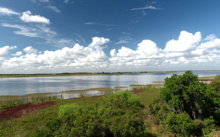
Through partnerships, we harness the power of data and technology to address conservation challenges and accomplish our goals for people and nature.
-

Enhance Biodiversity
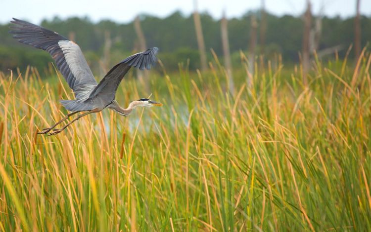
Protect and connect wildlife corridors and restore habitat for threatened and endangered species.
-

Improve Community Health
Build resilient communities through equitable conservation to support physical health and mental well-being.
-

Protect Water Resources
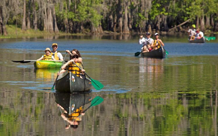
Identify critical floodplains, wetlands, lakes and rivers and implement measures to safeguard freshwater.
-

Support Local Economies
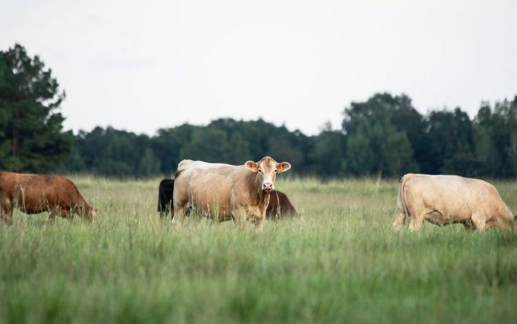
Preserve working lands to maintain agricultural livelihoods and help people adapt to climate impacts through nature-based solutions.
Maximize the Benefits of Informed Planning
- Engage Stakeholders: Foster collaboration and consensus among diverse groups to advance equity in conservation and build sustainable and resilient communities.
- Identify Nature-Based Solutions: Discover innovative approaches to address local challenges, such as flooding, pollution, and loss of wildlife habitat.
- Optimize Resources: Optimize land use decisions by understanding the social, economic and ecological value and benefits of resources to people and nature.
Join Us in Building a Smarter Future
The Osceola Greenprint is a valuable tool for anyone interested in protecting our environment and creating a more sustainable future. Ready to unlock the potential of nature-based solutions?
We Can’t Save Nature Without You
Sign up to receive monthly conservation news and updates from Florida.


