Investing in Nature-Based Solutions
We work with communities, agencies and organizations on projects that demonstrate the power of nature—to inspire change in practice and culture.
The challenges of a changing climate and rapidly declining biodiversity can feel overwhelming. But we know there are answers because we work with them every day.
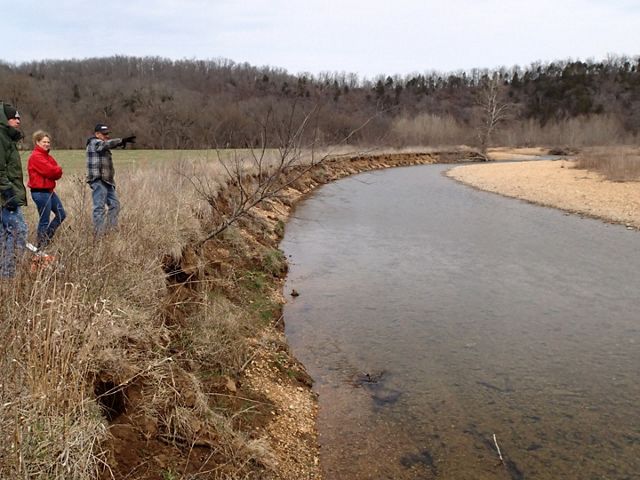
In Missouri, we’re using nature-based solutions to tackle everything from flooding to food insecurity to human health problems associated with pollution in city neighborhoods. The applications are nearly endless. Sometimes, it involves literal on-the-ground work, such as rebuilding badly eroding river banks. But we are also leveraging data and partnerships to create smart digital tools Missouri’s floodplain communities can use to deploy resources efficiently. Nature-based solutions allow people to work with nature, instead of against it, on strategies that benefit us all.
Moving a Levee on the Missouri River
Check out this podcast episode to hear from TNC staff and project partners.
Start StreamingLevee Setback on the Missouri River
People in Atchison County know the Missouri River. They know floods, too. So in 2019, when longtime residents saw surging waters pummel the levee system like never before, they understood better than anyone that something had to change. TNC helped them do it.
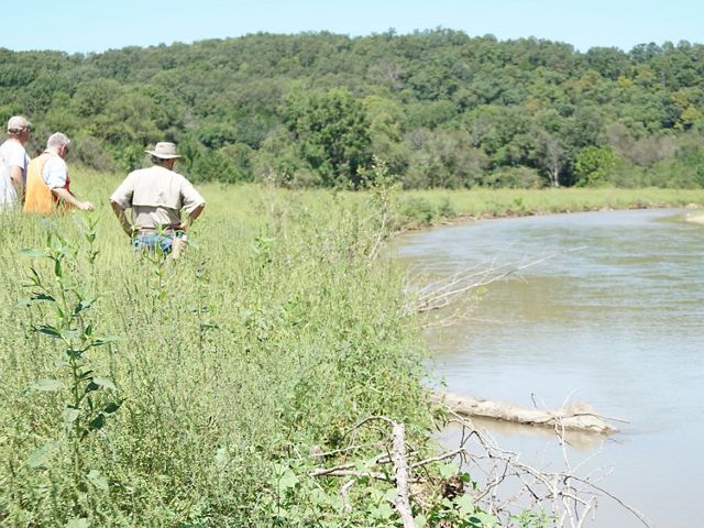
We convened partners from across the state with Atchison County Levee District No. 1 and the U.S. Army Corps of Engineers to figure out a plan. With the district and residents in the lead, the group had an ambitious goal: moving five miles of levee inland to reconnect 1,040 acres of floodplain.
The project was complex, but it was supported by the buy-in of local landowners, who knew what was at stake. Three of the six highest river crests recorded since the levees were built more than 70 years ago had occurred in the past decade, according to the levee district.
The 2019 crest topped the Great Flood of 1993 by more than a foot. Some 56,000 acres were underwater in 2019, and an estimated $25 million of agricultural revenues were lost. The levee setback project, which compensated landowners for easements, gave the river room to move without wreaking havoc. It’s now a model for communities facing similar problems.
Little Creek Farm Fish Passage
The Topeka shiner is harder to see than the bison roaming Dunn Ranch Prairie, but the 3-inch minnow is just as important to the biodiversity of Missouri prairies. A major streambank restoration downstream from an aging culvert on the Harrison County site protects against erosion and improves water quality.
The project includes a bioengineered underwater ramp that remedies a 6-foot drop off the edge of the culvert, reconnecting the shiner with crucial pieces of its native habitat. TNC has been working with the Missouri Department of Conservation and U.S. Fish and Wildlife Service (USFWS) to repatriate the silvery, striped minnow at Dunn Ranch Prairie. The new stream project helps efforts launched throughout the Midwest to save the shiner since it was added to the endangered species list in 1998.
Now, the little fish is on the rebound, according to a USFWS report released in 2021. That’s a victory for biodiversity, great and small.
Lower Meramec Floodplain Prioritization Tool
Identifing Critical Opportunities for Floodplain Protection and Restoration
Access the ToolMississippi River and Lower Meramec Floodplain Prioritization Tool
Floodplains are one of our greatest defenses against the effects of a changing climate. They can help protect against increasingly frequent flooding, filter water heading into rivers and provide habitat for wildlife. In 2019, The Nature Conservancy and its partners released the Floodplain Prioritization Tool to give decision-makers access to data they can use to smartly manage floodplains throughout the Mississippi River Basin.
The tool includes data that wasn’t previously available publicly and allows users to set parameters and customize filters to fit their needs. It is free and easy to access through a dedicated website. The tool is designed to help planners, public officials, land trusts, businesses and others see where they can best invest in protecting and restoring floodplains. A related site for the Meramec River Basin pilots using the data to manage the lower Meramec.

Lower Meramec Floodplain Management Plan
The lower Meramec River wriggles across central and eastern Missouri, passing through forests and farmlands, wildly biodiverse tributaries and busy suburbs before it flows into the Mississippi River south of St. Louis. It’s a complex system that affects dozens of communities and hundreds of species.
Through the Army Corps of Engineers’ Silver Jackets program, TNC has collaborated with cities and counties in the floodplain as well as state and federal agencies to inform strategies to support the river basin and all who depend on it. The Lower Meramec Floodplain Management Plan produced as part of the effort offers a comprehensive look at the floodplain as well as a variety of approaches to lessen the damage of flooding.
TNC helped develop the plan, including the creation of TNC’s online Lower Meramec Floodplain Management Tool to help decision-makers figure out priorities for restoration and management.

Stream Restoration Projects
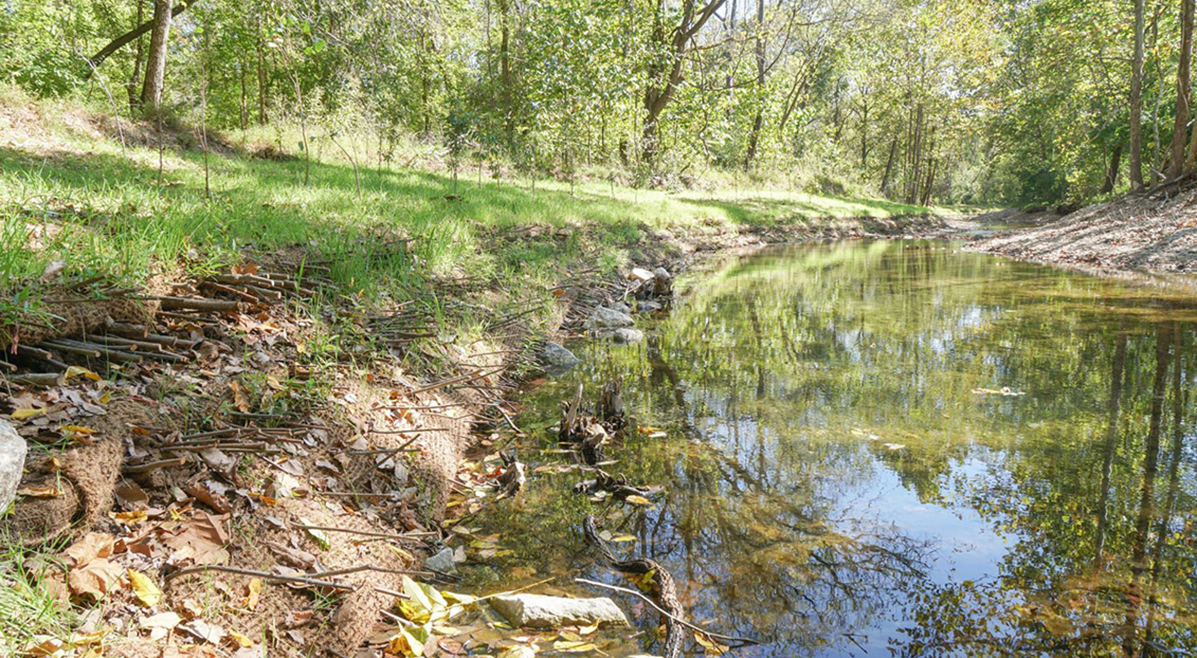
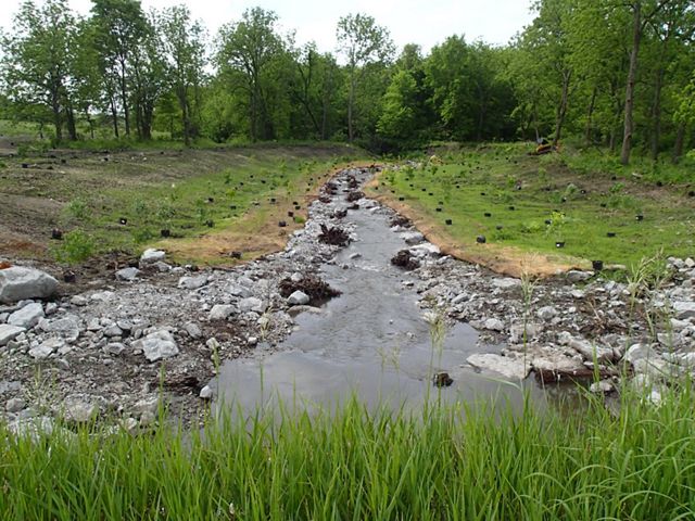
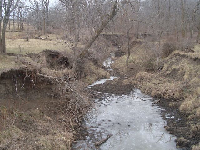
Crumbling banks along Missouri’s streams and rivers destroy fish habitats, overtax water treatment facilities and cost property owners huge chunks of land. TNC has partnered in recent years on multiple major bioengineered restorations throughout the state.
That includes LaBarque Creek, a biodiverse tributary to the Meramec River and home to more than 50 species of fish. Crews rebuilt a rapidly eroding bank with trees, root wads, natural fibers and live plantings.
Similarly, TNC restored 1,650 feet of streambank along Elk River in McDonald County, where a landowner was losing 8,000 tons of soil annually to erosion. In St. Louis County, TNC has worked with the Missouri Department of Natural Resources and Missouri State Parks to stabilize Kiefer Creek in Castlewood State Park—a popular hiking destination and a perfect showcase where people can see nature-based solutions in action.
In the Huzzah Creek watershed, an ecologically and economically significant drainage in the Meramec River Basin, TNC is working with landowners on stream restoration projects to stop erosion, enhance habitat for fish and wildlife, and keep their private land from washing away.
Low-water Crossings
Scores of different species of fish that inhabit Shoal Creek will once again be able to swim freely through the crucial Ozarks stream after TNC and its partners replace three low-water crossings with free-span bridges. TNC has assessed dozens of such crossings, which are roads that cut through streams and creeks, in recent years with officials in southwest Missouri to determine priorities and inform grant applications.
Low-water crossings create roadblocks for fish, cutting them off from habitat, food and their spawning grounds. And they’re not much better for humans. Rising waters easily top the crossings, making them dangerous for drivers and isolating communities during floods.
The new bridges have been made possible through a grant from the U.S. Fish and Wildlife Service and collaboration between TNC, the Missouri Department of Conservation and the Barry County Commission. As a model for future projects, the bridges will let water and wildlife flow freely underneath while creating a safer path above for people.

Sign up for Nature News
Get conservation stories, news and local opportunities from where you live.
