New Yorkers Are Rising to the Challenge of Climate Change
Communities are redesigning their neighborhoods so they can thrive now and long into the future.

Strong, frequent heatwaves, storms, and droughts are here to stay, and more are on their way. Climate change demands we do things differently. New York residents are teaming up to improve community safety and quality of life. The Nature Conservancy works with community members, public leaders, family farmers, and diverse partners to reduce the risks of heatwaves, storms, and droughts. By proactively working together, we can save lives, protect homes, businesses, and farms, and build a safer world for all of us – now and long into the future.
Policy
-
State Lawmakers Expand Wetland Protections in Landmark Conservation Victory
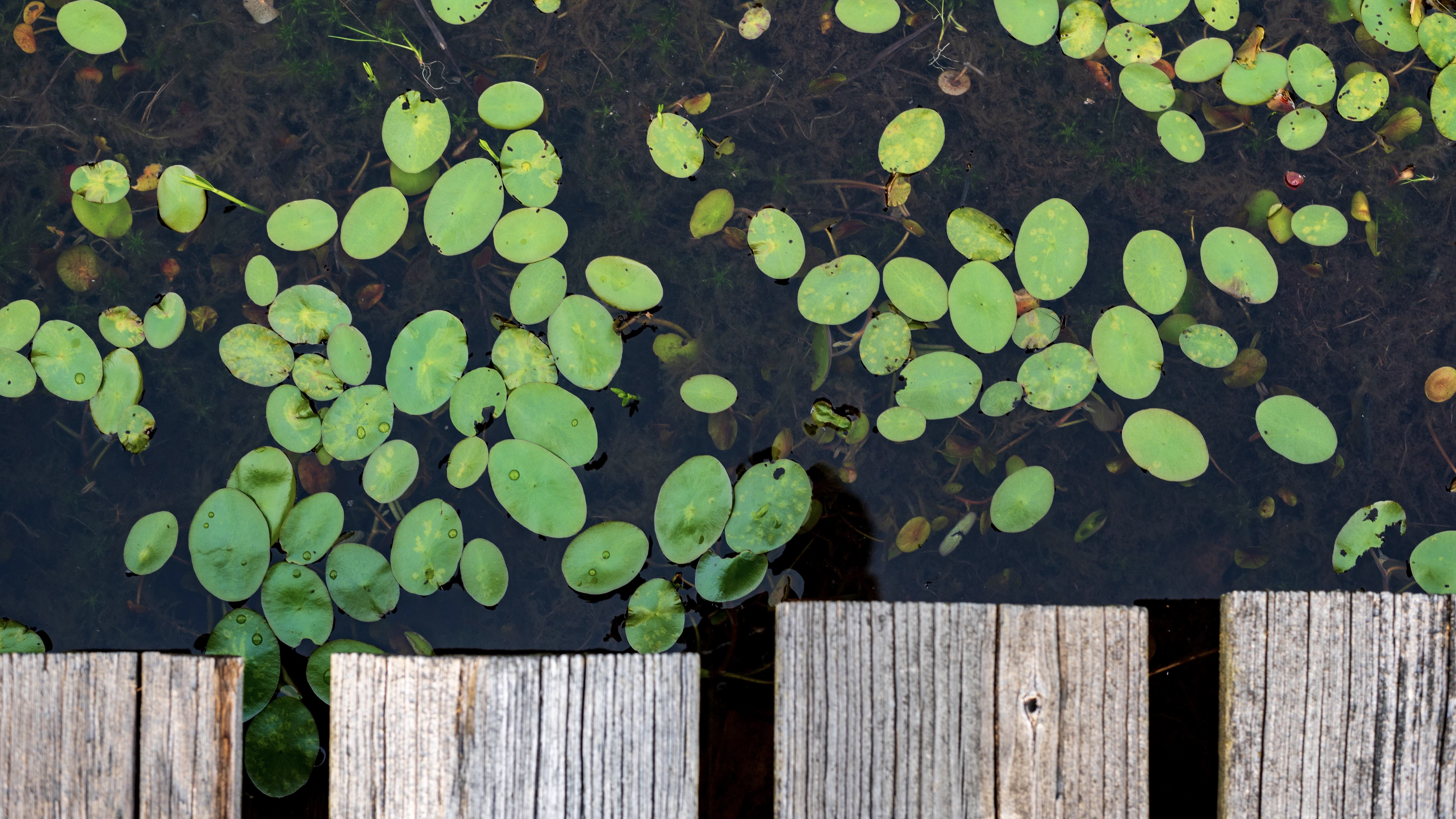
In the 2023 New York budget, Governor Hochul and the State Legislature increased state protections for freshwater wetlands, which were at risk of being lost forever. Wetlands prevent flooding, trap pollution, and clean our air and water. Read our story.
-
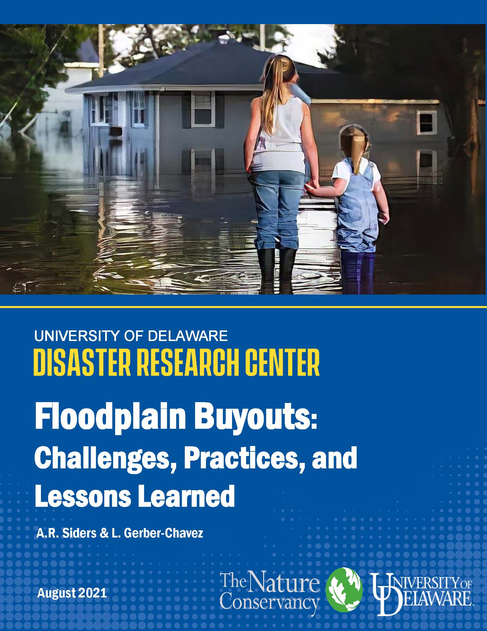
Improving Community Safety Through Voluntary Buyout Programs
The need for voluntary buyouts of storm-damaged properties is rising rapidly, but programs can be slow and inequitable. How can buyout programs be improved for residents and program staff? Read the full report.
-

Protecting Clean Water and Increasing Community Safety
A report by The Nature Conservancy and A.R. Siders at the Disaster Research Center examines how local wetland and stream regulations can be used to prevent harmful flooding by drawing on the experiences of three New York towns. Read the report.
Community
-
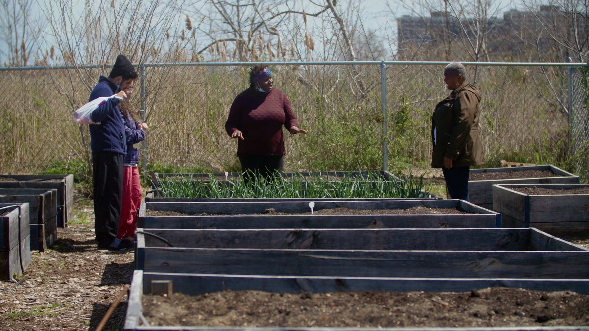
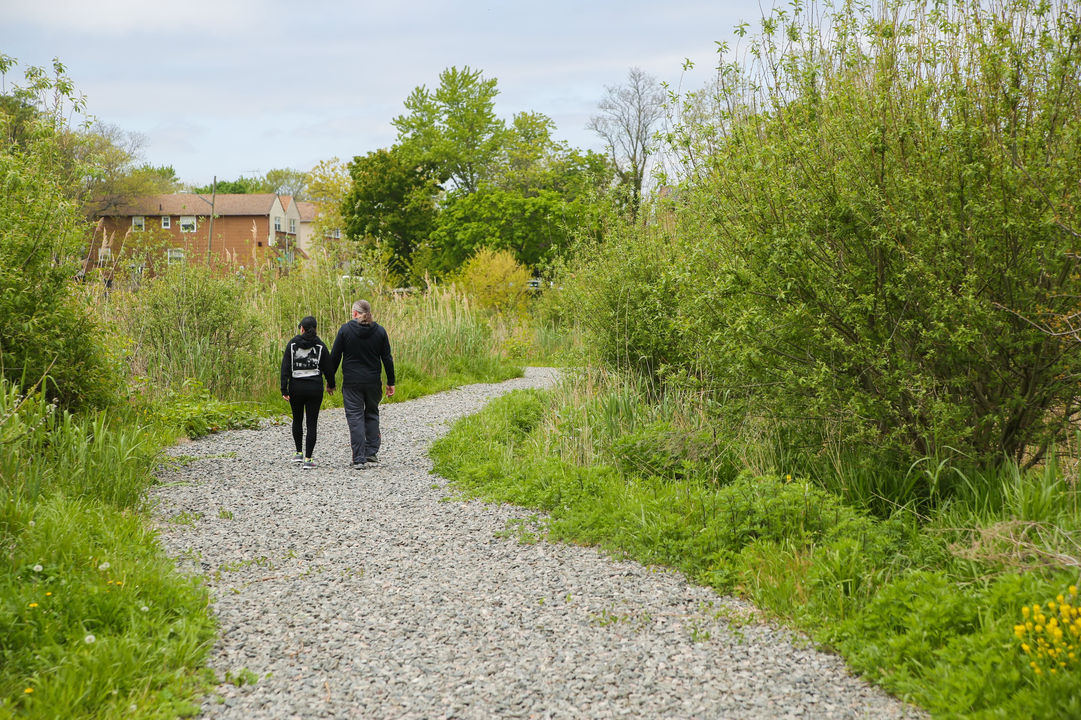
Community Visioning: Creating a Safer Future Together
In response to local disasters, two New York communities explore how they can use flood-damaged, vacant lots to create a safer future for themselves. Listen to residents and leaders talk about their vision for their community. Watch the video.
-
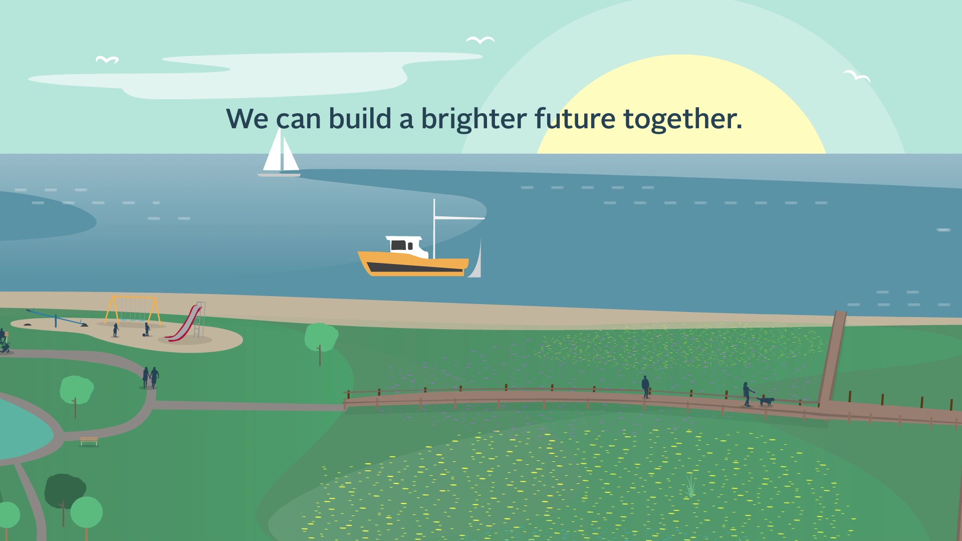
Green Buffer Zones: Community Amenities for a Brighter Tomorrow
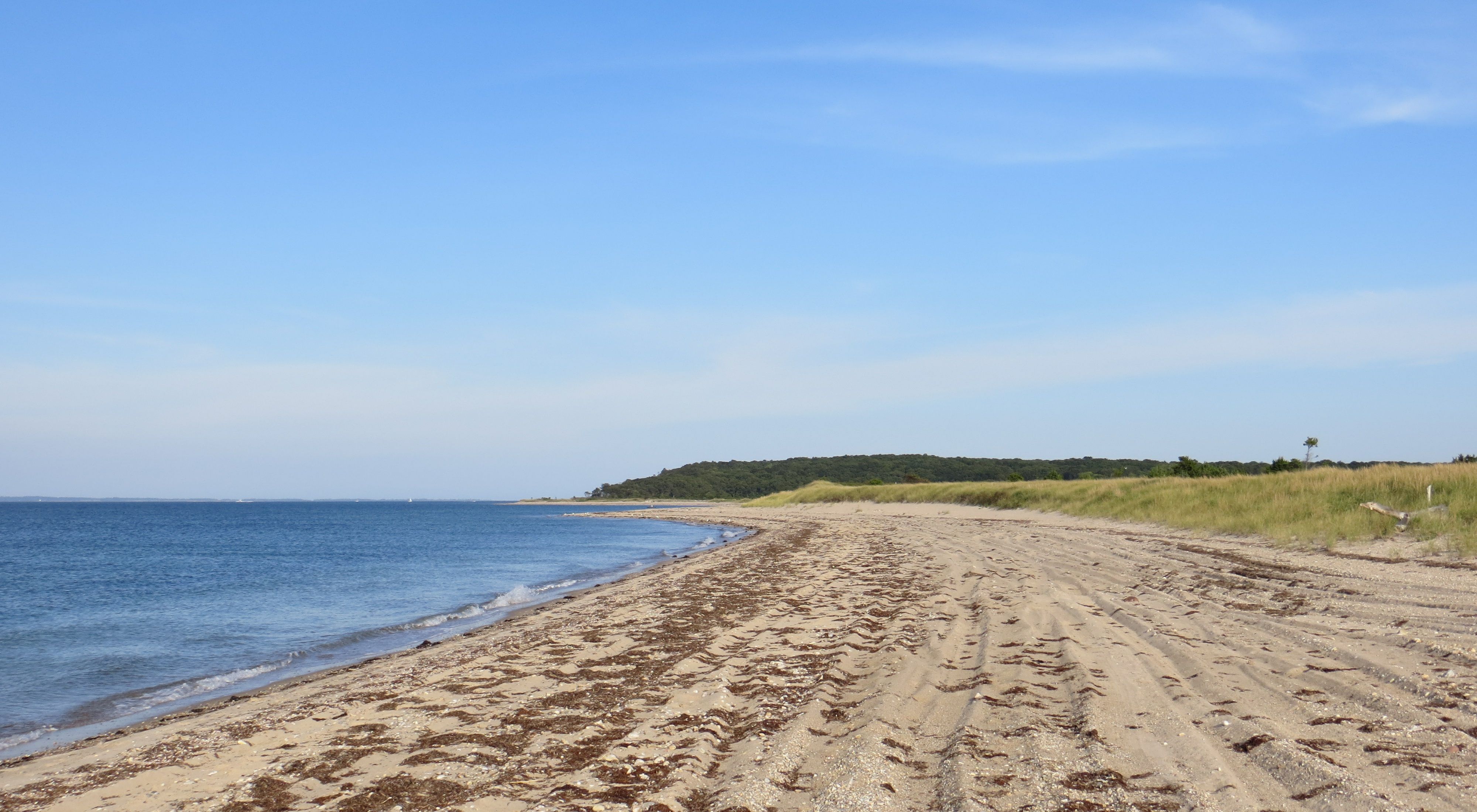
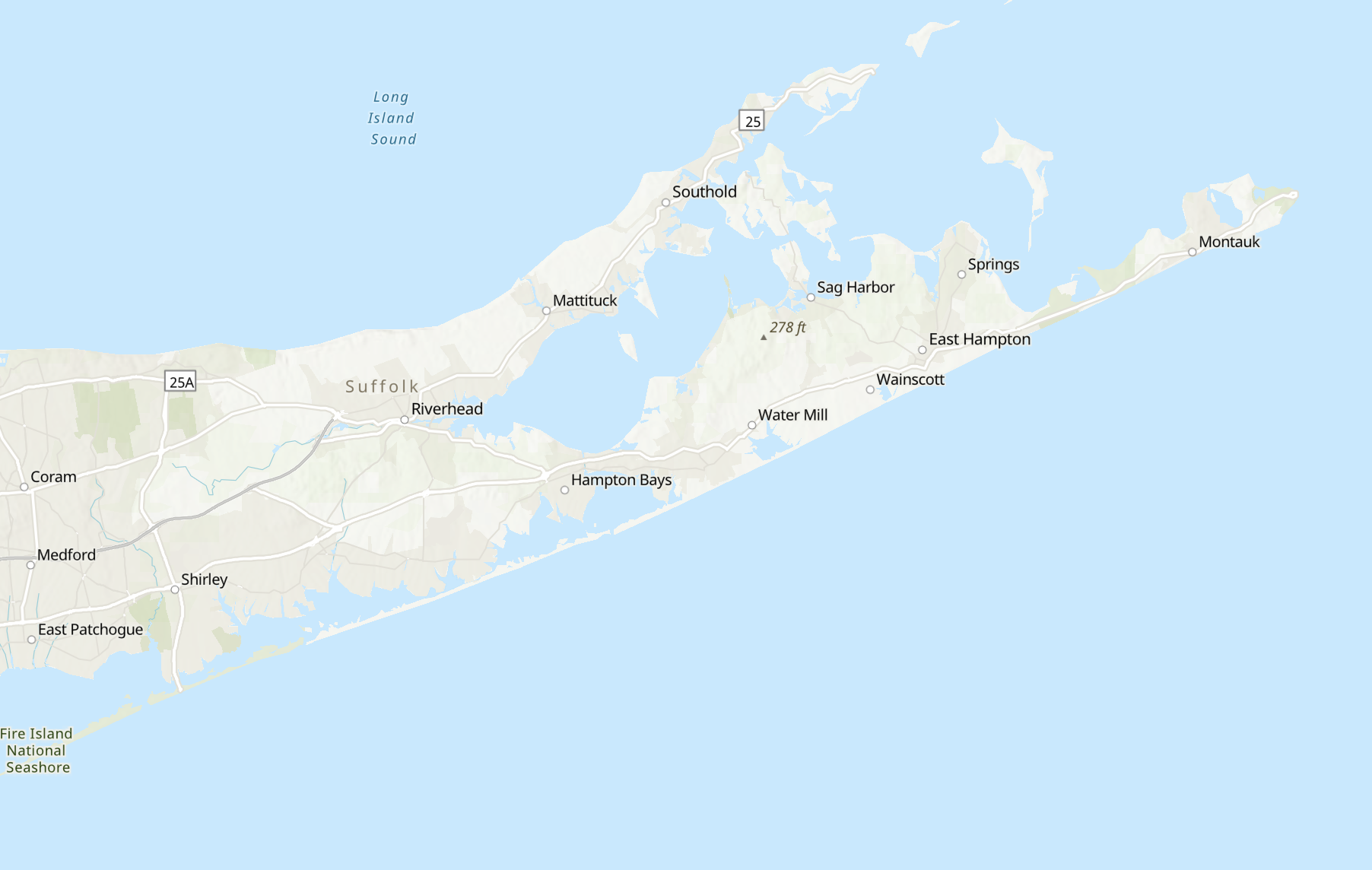
In New York, 90 percent of residents live along lakes, rivers, streams or the ocean, which means our communities are increasingly vulnerable to flooding from storms and rising seas. Watch this animation to learn more.
-
Higher Ground: Building New York City’s Blue Belt for Storm Resilience
On Staten Island, The Nature Conservancy partnered with U.S. Department of Agriculture’s Natural Resources Conservation Service to reduce flooding in Midland Beach by purchasing storm-damaged homes. Learn how this innovative partnership helped residents choose a safer future.
Research
-
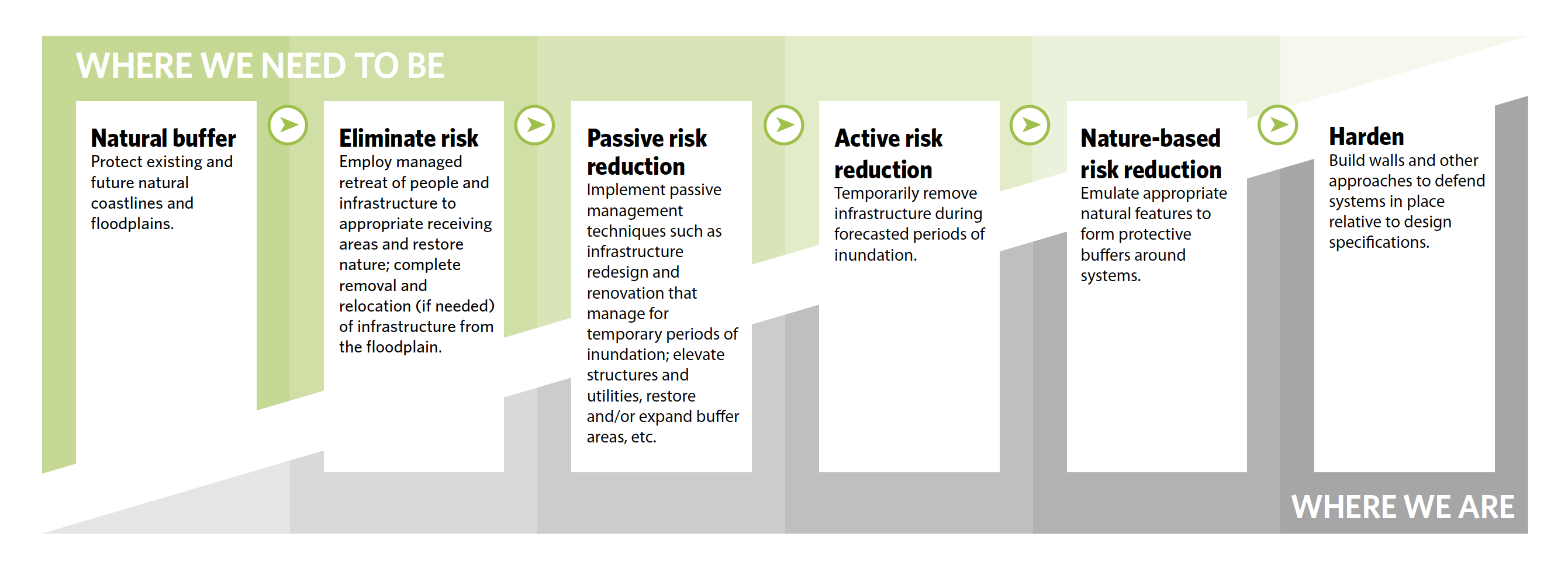
Flood Adaptation Hierarchy
The Nature Conservancy’s Flood Adaptation Hierarchy is a decision-making framework that prioritizes natural systems (such as wetlands) as the preferred climate adaptation strategy and incorporates equity principals. Read the executive summary.
-
Climate Resilient Grant Program
The goal of The Nature Conservancy’s Climate Resilience Grant Program is to support partners in protecting lands and waters critical for adapting to climate change while prioritizing the needs of local people and communities. Learn more
-
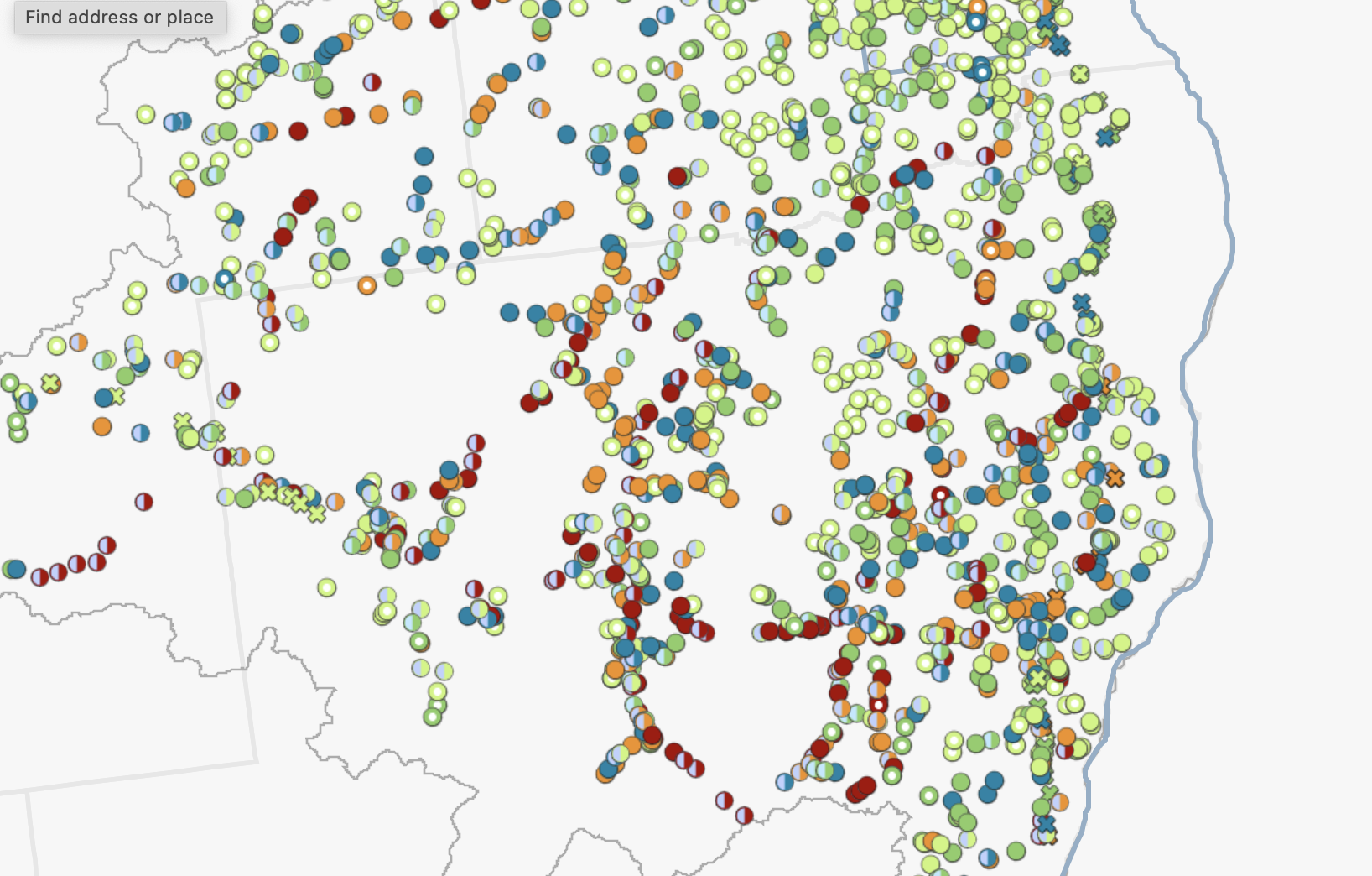
LI Road-Stream Crossing Prioritization Tool
This tool helps partners, planners, and transportation organizations better plan and prioritize road-stream crossing replacements. It incorporates critical measurements of flood vulnerability, ecosystem health and aquatic organism passage and more! Use the tool
-
Lake Champlain Basin Road-Stream Crossing Assessment Tool
This tool incorporates critical measurements of flood vulnerability, ecosystem health and aquatic organism passage, and transportation metrics, which allows partners to identify the crossings with the highest co-benefits as a priority. Explore the tool
-
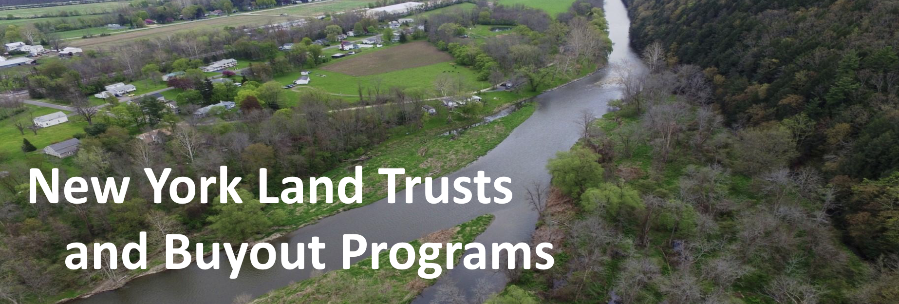
Land Trusts and Buyouts
This report shares the process and outcomes of two phases of exploring an effort to build local land trusts’ expertise and engagement on coastal/floodplain land acquisitions in partnership with each other and The Nature Conservancy. Read more
Take the first step toward climate action
Related Stories

Critter Crossings: Helping Wildlife Migrate in New York
A creative new way to keep animals safe and habitat connected.

Green Roofs in New York City
Working with partners in the Green Roof Researchers Alliance, The Nature Conservancy has released the most comprehensive estimate of green roofs in New York City.

Unlocking the Power of New York City’s Roofs
Two new laws in New York City will transform the city's rooftops, helping to reduce carbon emissions and mitigate the harmful effects of our climate changing world. We break them down with Urban Green Council.