Rattlesnake Creek
Kansas
Saving Water, Saving Wildlife
Helping farmers use water more efficiently around Rattlesnake Creek
Is it possible for profitable agriculture to coexist alongside healthy ecosystems?
Heidi Mehl, director of water and agriculture for The Nature Conservancy, believes so.
"It's not just that we can sustain farming and wildlife together, it's that we need both," she says. "Our future depends on it."
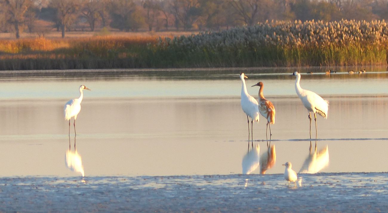
One of the places where that idea is being put to the test is around Rattlesnake Creek in central Kansas. The 95-mile stream flows through Quivira National Wildlife Refuge, where large salt marshes provide critical habitat for migratory birds like the endangered whooping crane.
Wildlife needs the wetlands to have enough water flowing from Rattlesnake Creek. Local farmers need water to irrigate their crops. These competing needs have caused tension, but there’s a solution.
“We can restore the flow of water in Rattlesnake Creek if we reduce water use,” says Mehl. “Protecting the refuge is vital. We need to find the solutions that support everyone who relies on the creek for water, which means supporting both wildlife and agriculture.”
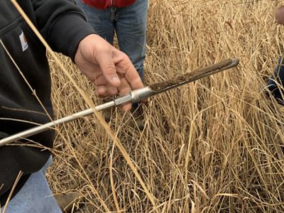
Rainfall in this area is fairly low—20-25 inches annually—which means successful production of many crops depends on supplemental water drawn from the Great Bend Prairie aquifer. When the aquifer gets too low, water doesn't flow above ground in Rattlesnake Creek—and the salt marshes of Quivira risk running dry.
For years, the local groundwater management district, GMD 5, has encouraged water conservation, but there is an urgent need for new solutions that allow farmers to use water more efficiently so less water is used overall.
Help Keep Rattlesnake Creek Flowing
Your gift supports TNC's work along Rattlesnake Creek and other threatened rivers in Kansas.
Irrigation Efficiency Project
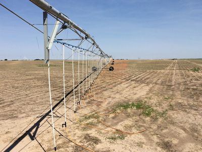
In early 2021, The Nature Conservancy began an on-farm trial project in the area around Rattlesnake Creek supported by the Conservation Innovation Grants program at USDA's Natural Resources Conservation Service. The goal is to reduce the amount of groundwater pumped and used for crop fields while still maintaining harvest size and profitability. Participating farmers received a 50% cost-share grant to upgrade their irrigation systems to mobile drip lines, which apply water directly to the soil surface. Free technical assistance was tailored to the farm operations and included the use of a new irrigation scheduling tool developed by Kansas State University. Results showed that the technology can help save water, but it ultimately depends on how people use it. TNC hopes to expand the project to reach more farmers and realize greater water savings.
When More Trees Isn't the Answer
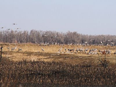
New technology won’t fix everything. Sometimes an old-fashioned approach is needed. For Rattlesnake Creek, that means chopping down trees.
Most of Kansas is naturally devoid of trees except along riverbanks. Before humans began cultivating, nearly all this land was prairie where grasses, flowers and shrubs dominate the landscape instead of trees. This is true of the area around Rattlesnake Creek, known as the Great Bend Sand Prairies because of the sandy soil. In the 19th century, people introduced non-native ornamental trees like salt cedar and Russian olive to serve as windbreaks. These invasive trees drink up more than their share of water, depleting groundwater and further reducing how much water is left to flow in the creek.

A few years ago, TNC brought together farmers, local leaders, state agencies, federal partners and more to find solutions that work for everyone. One of the first, high-impact actions they identified was eliminating these invasive trees. TNC quickly joined partners like the Kansas Forest Service and Ducks Unlimited on a series of federal grants to help landowners cut down trees around Rattlesnake Creek and the nearby Upper Arkansas and Cimarron river watersheds. So far, 30 miles of Rattlesnake Creek has been improved by removing invasive trees.
"Rebalancing water use in the Rattlesnake Creek watershed isn’t an easy task," cautions Mehl. "It's going to take effort from a lot of people and organizations, but The Nature Conservancy and I are committed to this work. We have to keep bringing people together to find the solutions that work for both nature and people."
Quote: Heidi Mehl, PhD
The Nature Conservancy and I are committed to this work. We have to keep bringing people together to find the solutions that work for both nature and people.
Find More Places We Protect
The Nature Conservancy owns nearly 1,500 preserves covering more than 2.5 million acres across all 50 states. These lands protect wildlife and natural systems, serve as living laboratories for innovative science and connect people to the natural world.