Upper West Gulf Coastal Plain
Louisiana

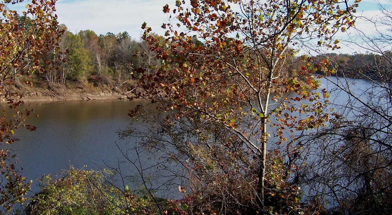
The Upper West Gulf Coastal Plain region covers approximately 7,100 square miles in Louisiana.
The Upper West Gulf Coastal Plain region covers approximately 7,100 square miles in Louisiana and extends into southwest Arkansas, southeast Oklahoma, and northeast Texas.
Historic Condition
In 1871 and 1872, Colonel Samuel H. Lockett traversed the state of Louisiana to conduct a topographic survey and to report on people, botany, geology and natural history he encountered. Lockett termed northwest Louisiana as the "good uplands" in regards to the potential for agriculture and timber production, and described the region as "generally hilly, some of the ridges being almost mountainous in elevation." Although "mountainous" may not be an adjective we would ascribe to Louisiana today does contain the highest point in the state, Driskill Mountain, in Bienville Parish, which towers 535 feet above sea level. Louisiana can be proud of having the third lowest highest point in the U.S., beaten out by only Delaware at 442 feet and Florida at 345 feet.
Lockett reported that the alluvial valleys of the Red River and other major rivers supported bottomland hardwood forests and "the best cotton lands in the world." Lockett described in some detail the "Great Raft" of trees that blocked all navigation and caused extensive backwater flooding. The Red River has had a long history of diligent activities by man to allow unimpeded travel from the Mississippi to Shreveport, culminating in the major navigation improvements completed more recently.

Current Condition
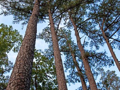
Today, although the topography in this region has not changed, the natural forests have been almost completely replaced by agricultural crops in the lowlands and intensively managed pine forests in the uplands. The Louisiana Natural Heritage program estimates that less than 10% of original shortleaf pine-hardwood forests remain today.
As with longleaf pine-dominated plant communities, shortleaf pine habitats were greatly influenced by periodic fire, which is estimated to have occurred at a frequency of about once every 5 to 15 years in the uplands of this region. Due to fragmentation of the landscape, changes in land use and active fire suppression, many sites that were formerly open woodlands with a rich understory and ground layer have become closed-canopy forests.
The pattern of habitat loss noted in the uplands has been repeated in the lowlands with virtually all of the original bottomland hardwood forests having been converted to agriculture. An exhaustive inventory of wetlands in Caddo and Bossier Parishes by TNC, identified several high-quality wetland sites worthy of TNC conservation efforts , but also reinforced the belief that relatively natural forested habitats were extremely uncommon and those that remained were often small, fragmented and highly isolated.
Biodiversity Significance
Although the shortleaf pine uplands and the bottomland hardwoods found in the alluvial valleys of the major rivers are the two predominant natural plant communities found in this region, they are but two of 18 recognized by the Natural Heritage Program. Four distinct prairie types are known in this region. Thirty species of plants found in this region are considered globally rare, threatened or endangered; ten are found nowhere else in Louisiana. Some of the rare plants include slender blazing star, Texas trillium, Louisiana bluestar, yellow ladies slipper orchid, Arkansas oak, and scarlet catchfly.
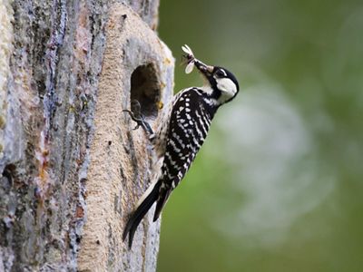
Twenty-four species of animals found in this region are considered globally rare, threatened or endangered; six are found nowhere else in Louisiana. Some of the rare animals include the pink mucket mussel, several Schoolhouse Springs insects, bluehead shiner, western sand darter, interior least tern, red-cockaded woodpecker, and Bachman's sparrow. Of the 24 rare animal species found in this region, eight have received some degree of protection thus far.

Conservation Efforts
Caddo Black Bayou has been a focal point for the Conservancy in recent years. TNC currently owns nearly 500 acres in this area, which was identified as supporting one of the best xenic sandhill communities in Caddo/Bossier parishes and excellent wetland habitats. Schoolhouse Springs Preserve, which supports numerous rare aquatic species, was one of TNC's earliest acquisitions in Louisiana, and we acquired additions to Bodcau Bayou and Loggy Bayou Wildlife Management Areas. In addition, we have worked extensively on the Minden Ammunition Plant, Barksdale Air Force Base and Bodcau Wildlife Management Area to conduct natural resources inventories and to develop recommendations for management and natural area designation. Our work with the Corps of Engineers at Bodcau WMA resulted in eight areas and nearly 4,000 acres being designated as natural areas through the natural areas registry program jointly sponsored by TNC and LNHP.
Opportunities for Public Visitation
Areas open to public visitation include D'arbonne National Wildlife Refuge, Upper Ouachita National Wildlife Refuge, Bodcau Wildlife Management Area, Loggy Bayou Wildlife Management Area and the Caney District of Kisatchie National Forest. Although developed trail systems and facilities for visitors are generally limited, most of the public lands have constructed some amenities for nature enthusiasts. Bodcau Wildlife Management Area in Bossier Parish provides an excellent introduction to this region. Bodcau WMA supports many high-quality examples of natural plant communities and the Corps of Engineers maintains a very nice camping area. The two TNC preserves, Schoolhouse Springs and Caddo Black Bayou, are only accessible by crossing private property, so visitation is limited to scheduled TNC field trips.