Description
Conservation Highlights
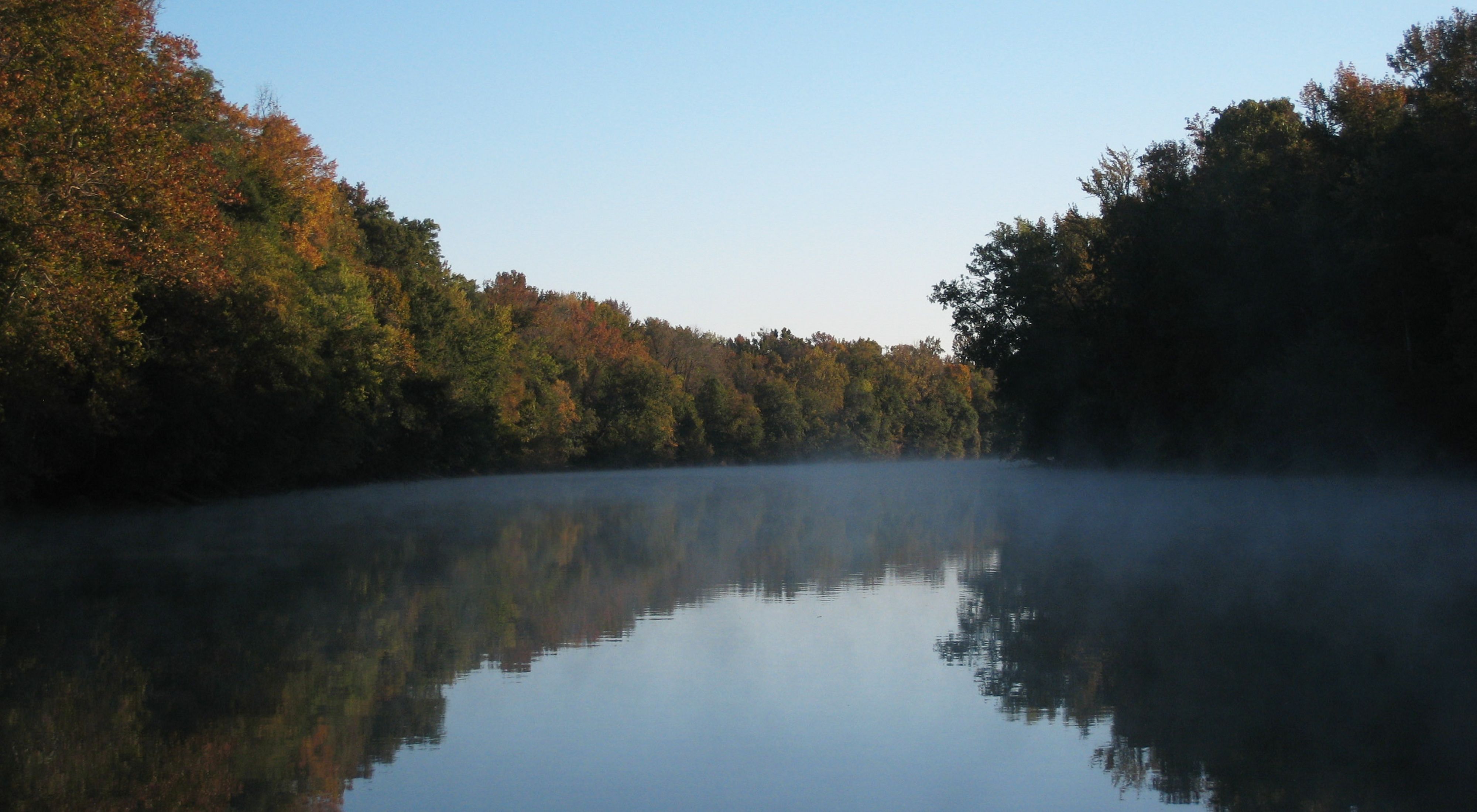
The Roanoke River's floodplain contains the largest intact and least-disturbed bottomland hardwood forest ecosystem remaining in the mid-Atlantic region. The middle section of the Roanoke River is characterized by alluvial forests and large backswamps, while the lower section contains vast tracts of bald cypress and water tupelo swamp forests. The Roanoke River provides a haven for a host of plants and animals, including more than 200 bird species.
Plant and animal species have adapted to thousands of years of flooding on the Roanoke River. Within the last half-century, however, the river has been significantly shaped by three dams that sit near the Virginia-North Carolina border: John H. Kerr Dam, Gaston Dam and Roanoke Rapids Dam.
For many years, large amounts of water were held in the lakes above the dams for long periods of time. This curbed flooding downriver while drastically increasing the length of time that flows were released downstream. This management approach flooded areas upstream of the dams—Kerr Lake campgrounds were often uninhabitable and eroded beaches and shores had to be restored at a public cost—as the dams filled up to the brim, and downstream the the long periods of released flow were hurting hardwood trees and the wildlife that rely on them.
To help mend the problems created from artificial flow, The Nature Conservancy began working with the owners and operators of the three dams—Dominion Generation in 1993 and later with the US Army Corps of Engineers.
History
The Conservancy has worked with many public and private partners who have participated in the complex task of protecting significant natural areas along a 137-mile river corridor.
In 1989, the Conservancy purchased 10,626 acres in Bertie and Martin counties from Georgia-Pacific Corporation to create the Roanoke River National Wildlife Refuge and add land to the state-owned Roanoke River Wetlands. In 1994, Georgia-Pacific Corporation and the Conservancy entered into an agreement to jointly manage and protect approximately 21,000 acres on the Roanoke. And in 2006, The Nature Conservancy purchased 22,000 acres along the Roanoke from International Paper, as part of the largest-ever land conservation project in the southern United States.
After more than two decades of work, conservation partners celebrated two monumental management agreements in the spring of 2016. The U.S. Army Corps of Engineers released a new water control plan for Kerr Lake, which more closely mimics natural river flows—reducing the flooding around Kerr Lake and Dominion Resources and the duration of flood events for the 137 miles of river downstream. Dominion Generation, which manages dams at Lake Gaston and Roanoke Rapids, announced changes that will significantly help reduce downstream flooding.
In addition to the many environmental benefits, the new water management plans will benefit people. This is especially true in the wake of storms. Under previous management, water was held in the lakes until they were just feet away from the top of their dams. When a big storm came, they filled up rapidly and water was released quickly. With the change, there will be higher releases of water earlier in the process so as to keep the lakes at a lower level. This will give the lakes higher flood capacity for storms and shorten the duration of flooding downstream.
